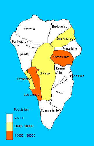
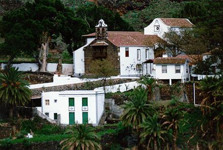
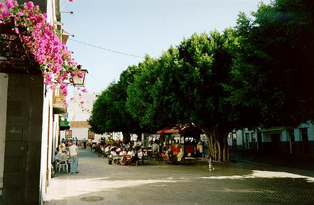
San Andrés y Sauces
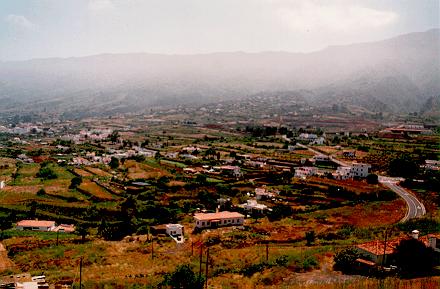
San Andrés y Sauces has a population of 6,000 and an area of 44 sq km. It is the main
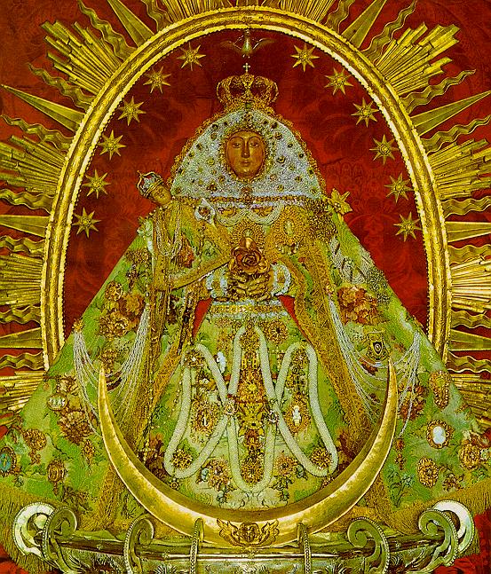
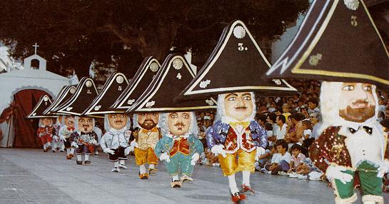
agricultural and commercial area of the north of the island. The patron of San Andrés is
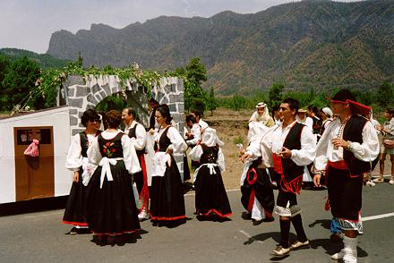
Nuestra Señora de Monserrat, whose fiesta takes place during the first week of
September.
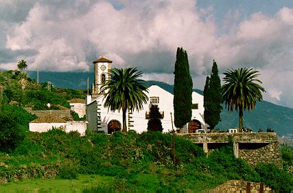
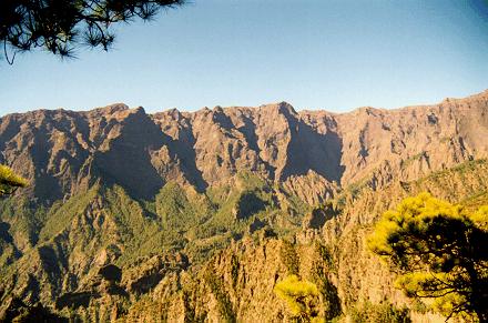
Well worth a visit are the springs of Marcos y Corderos
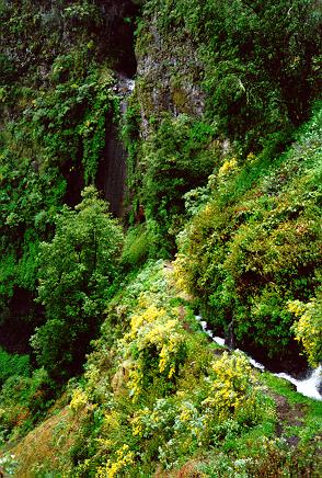
 , high in the hills above San Andrés. More accessible is the forest of Los Tilos,
fed by the waters from the springs. Los Tilos has been declared a 'biosphere
reserve', under the protection of UNESCO, as part of the heritage of mankind.
, high in the hills above San Andrés. More accessible is the forest of Los Tilos,
fed by the waters from the springs. Los Tilos has been declared a 'biosphere
reserve', under the protection of UNESCO, as part of the heritage of mankind.
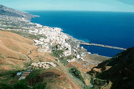
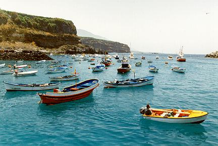
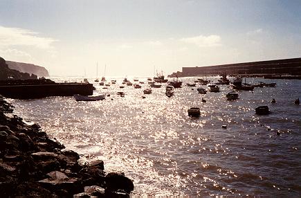
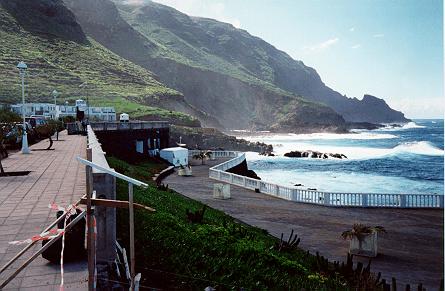
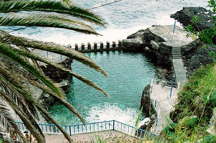
On the coast can be found the natural swimming pools at Charco Azul
 .
.
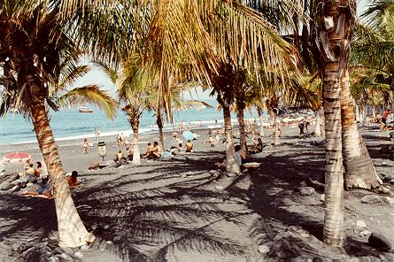
Puntallana
Puntallana has a population of 2300 and an area of 35 sq km.
The fiesta of San Juan Bautista takes place in Puntallana on June 24th.
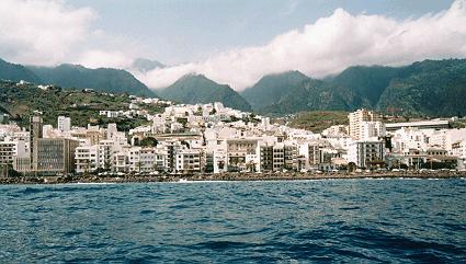
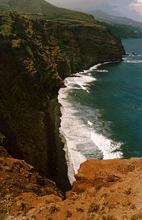
Worth a visit is the wooded area El Cubo de Galga. On the coast is the best
beach to the north of the island, Playa Nogales
 .
.


